Why we use the range
Equipment is only useful when it fits the site.
A broad marine ecosystem covering chartplotters, mapping, sonar, radar, autopilot, VHF/AIS, instruments, switching and entertainment.
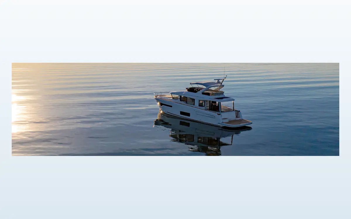
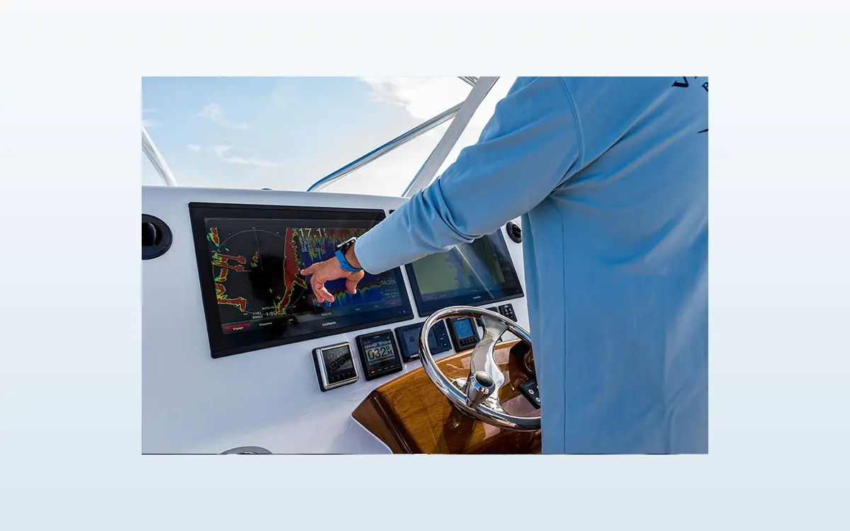
Garmin’s marine range links GPSMAP chartplotters with sonar, radar, autopilot, instruments, VHF/AIS, cameras, audio and compatible digital switching. Its breadth can simplify the operator interface when the network, power and third-party interfaces are designed rather than accumulated.
Product breadth
The useful parts of the range.
This is a practical, paraphrased guide to the manufacturer's published range. Exact models, approvals and availability are checked against the current project information before quotation.
GPSMAP & charts
Sunlight-readable chartplotters with mapping, route, engine, camera and network functions across varied screen sizes.
Sonar, radar & autopilot
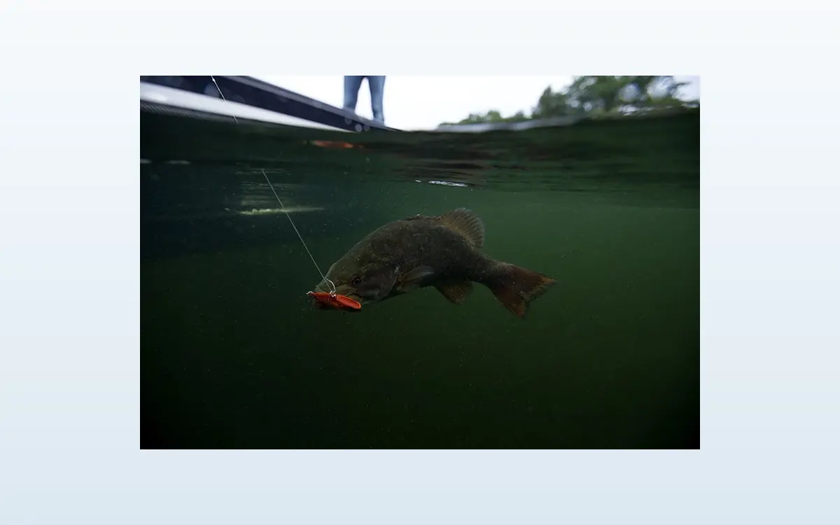
Transducers, sonar modules, radomes/open arrays and steering control for cruising, fishing and sailing.
Communications & vessel integration
VHF, AIS, instruments, NMEA networking, audio and digital switching on compatible platforms.
Selection model
Four tests before a product reaches the quotation.
Brand familiarity is not enough. We look at what happens during normal operation, credible faults, maintenance and future change.
OutcomeRight fit for this site
01Resilience
02Performance
03Environmental value
04Parts & support
Whole-life assessment
Why it may suit a particular environment.
Resilience
Networked information should be backed by appropriate independent safety equipment, protected feeds and a topology that can tolerate a single device failure.
Performance
Sensor, transducer and antenna position, network bandwidth, calibration and screen ergonomics determine real-world performance.
Environmental value
A coherent network can retain compatible devices during staged upgrades; energy demand and standby draw are included in the vessel’s DC budget.
Parts & support
A wide product and support ecosystem, manuals and software updates aid ownership, but model-specific cables, maps and network limits are documented.
Our application
Selected against evidence—not a favourite badge.
Vessel use, redundancy, mapping, helm position, power, antenna/transducer siting, NMEA 2000/0183, Ethernet, software and waterproofing are assessed.
- Survey the supply, load, interfaces and physical environment.
- Confirm current technical data, approvals and system compatibility.
- Define maintenance access, records, spares and software responsibilities.
- State the chosen equipment and material assumptions in the quotation.
- Test, commission and hand over the work included in our scope.
Lifecycle note
Manufacturer names and advertising imagery are used with permission for product identification and to explain equipment our team works with. Their inclusion does not imply endorsement or a formal partnership unless expressly stated. Product ranges, firmware, warranties, approvals and spare-part availability can change. We verify the current position for each quotation and do not promise indefinite continuity of supply.
Talk to the team
Need help selecting the right system?
Send us the brief, existing information or operational problem. We will help define a practical, maintainable route.